Preview: the first 30 seconds of 1:43. The full reel is free on Qrio.
Geopolitics
Why Africa is 14 times bigger than it looks on the map
A 1:43 reel by AevyTV, a creator on Qrio
The world map most of us grew up with shrinks Africa. How the Mercator map distorts sizes and why countries are backing the Equal Earth map.
Watch the full reel free on Qrio
Reels that make you smarter: business, startups, tech and the world, one minute at a time. Free on Android.
Download Android app
Transcript
Look at this. I feel cheated. I genuinely didn't know that India was this big because this is the world map We all saw growing up and it's the wrong one So the UN just voted in favor of using a different world map And I know this sounds like some geography update, but see this first, okay green and in Africa look almost the same size here Right in reality Africa is 14 times bigger. Yep, that is why 164 countries have backed a resolution encouraging maps like Equal Earth which was countries in their correct size proportions Instead of the market or map we saw in classrooms and textbooks now market or was actually made for sailors in 1569 It got the angles and directions right which helped in navigation but that came at the expense of Reddative area because it really inflates the places near the poles like on this market or map the US can appear almost Six times India size but I was so surprised to know that it's actually just half of that around three times Still bigger but you get my point right? I realized how your mapping is subject to bias you know because I always thought history, politics and economics were where we had a Eurocentric view But the literal picture of the world too I mean even how a map is centered is a choice India could be at the center China could be but on the maps I grew up seeing they were not because perception really does matter Bigger countries can feel more powerful more important smaller countries can seem secondary and I understand that flattening a globe onto a 2D surface Will distort something or the other the maps obviously cannot be perfect But I just didn't know that we had accepted a difference this big as a default if you have the only one who didn't know but I was so surprised Tell me in the comments and share this with everybody the maps are finally changing
Transcribed automatically from the video, so small errors are possible.
If you liked this
 ▶ 1:51
Science
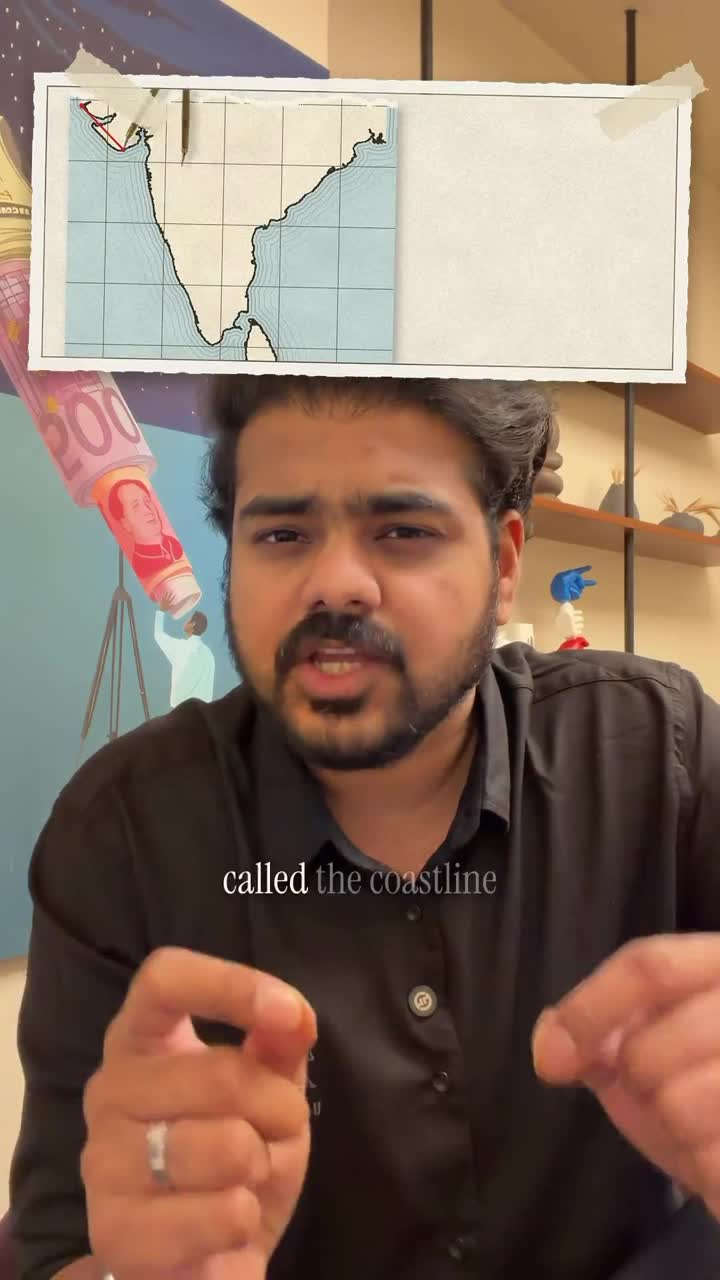
The coastline paradox: how India's coast grew by 3,500 km
by Rahul Reddy
 ▶ 2:34
Business
Why Rolex has no owner and no shareholders
by yieveberlins
 ▶ 1:46
Business
How Daisy sold out against Apple, Sony and Bose
by Oliver
 ▶ 2:17
Science
Why there are seashells on top of the Himalayas
by anichebhargav
More Geopolitics
 ▶ 1:21
Geopolitics
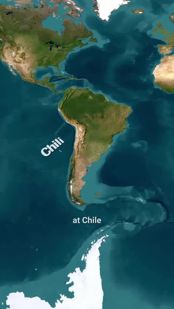
Why Chile is so long and so thin
by GeoGlobeTales
 ▶ 1:54
Geopolitics
House vs Senate: what US Congress members actually do
by GeoGlobeTales
 ▶ 0:55
Geopolitics
Why Dubai built a palm-shaped island
by Cal Explains
 ▶ 1:07
Geopolitics
Why time zones in Canada and the US got so weird
by GeoGlobeTales